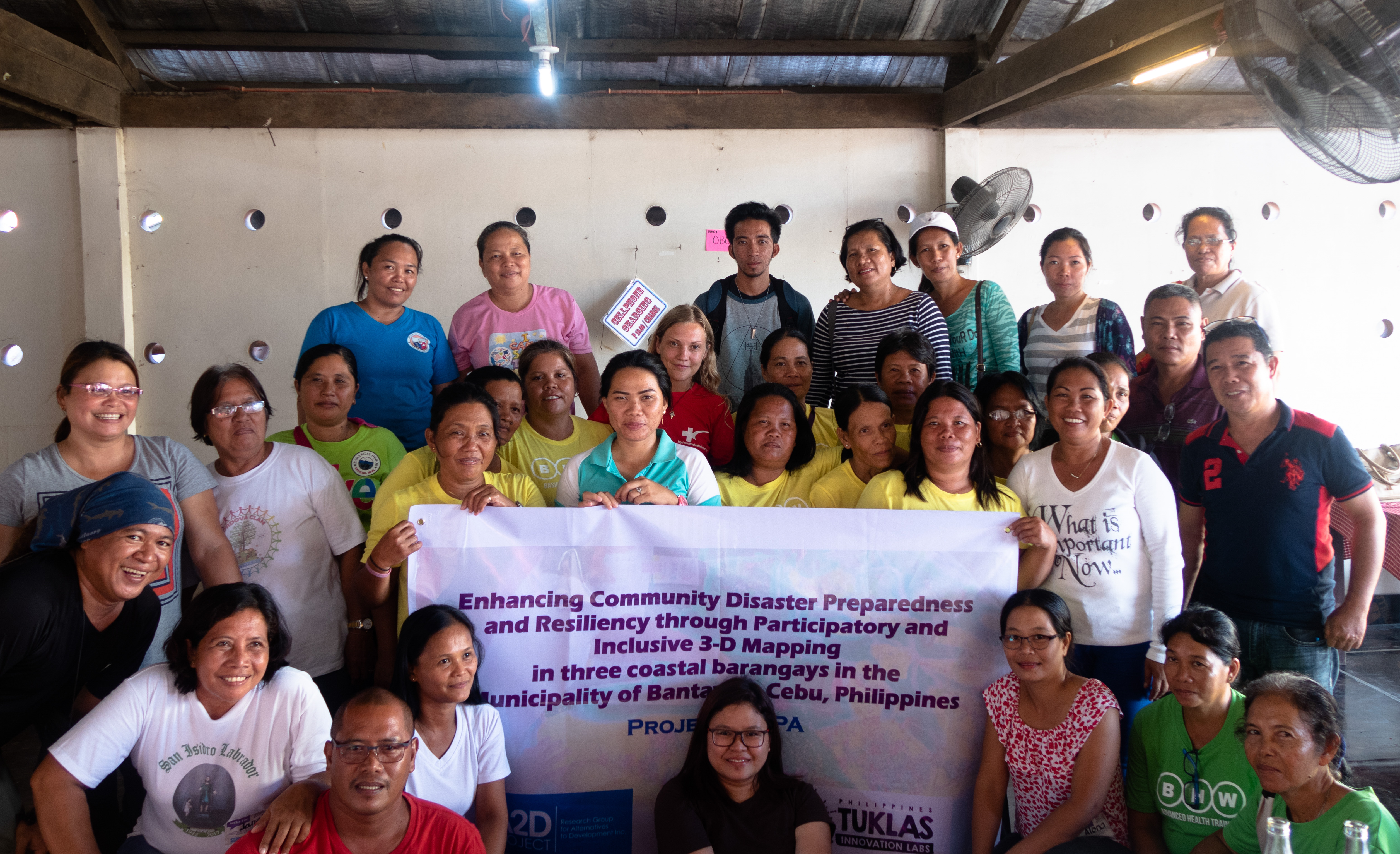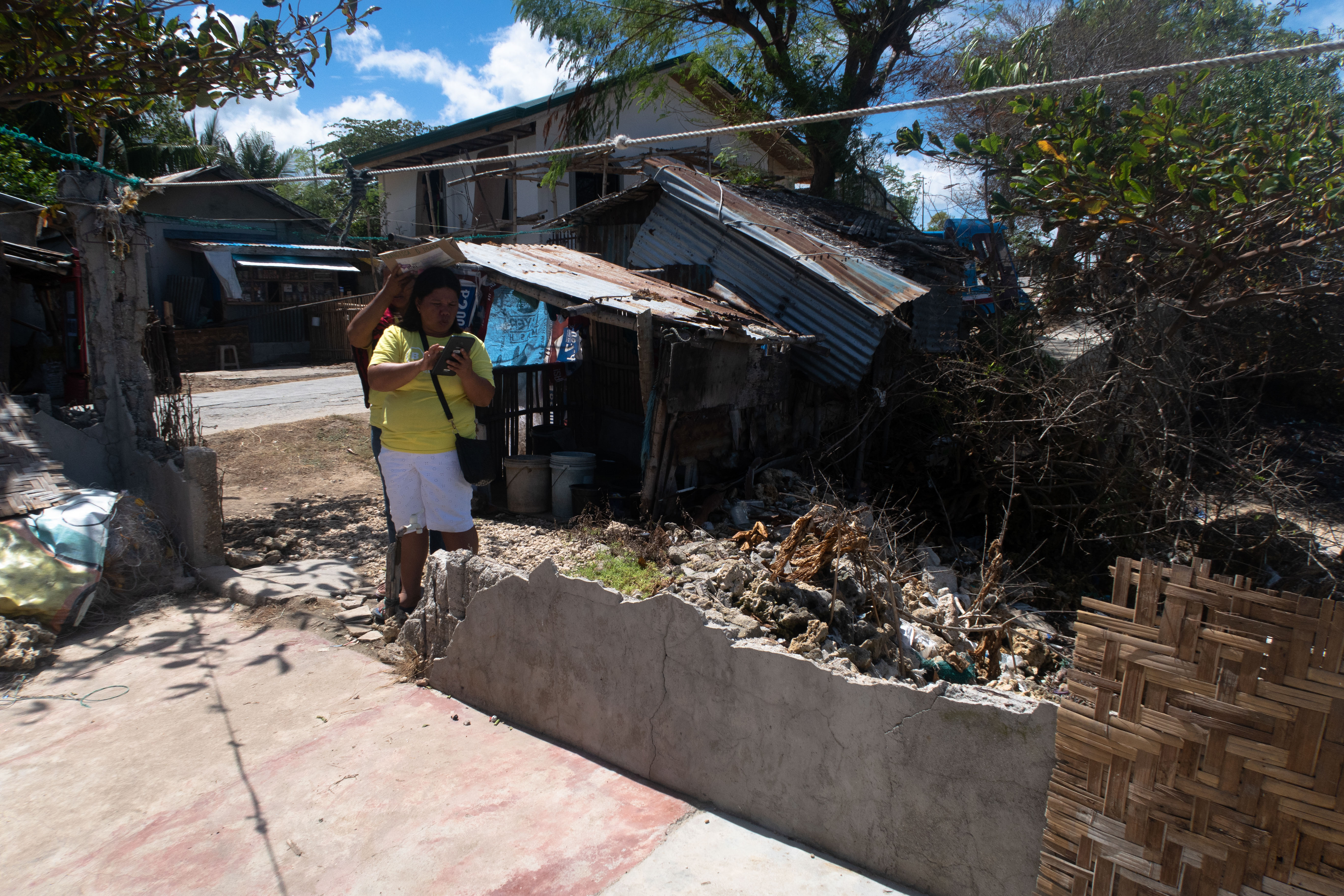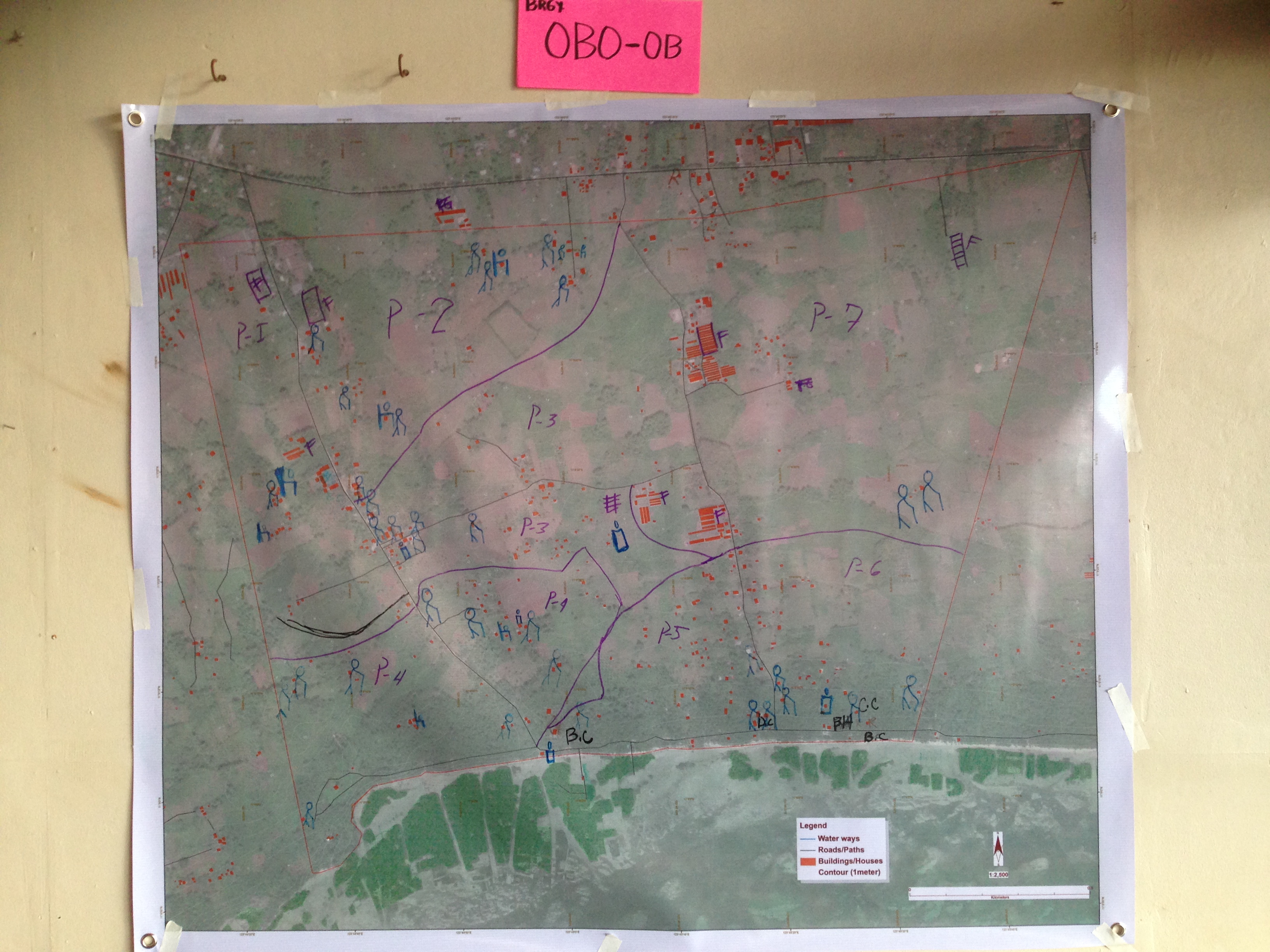
Coastal barangays (villages) in the Philippines are highly vulnerable to storm surges and typhoons. In order to strengthen disaster preparedness, it is essential for communities to understand their local environment and actively participate in mapping their villages—identifying key features such as muster points, vulnerable areas, wells, shelters, and evacuation routes.
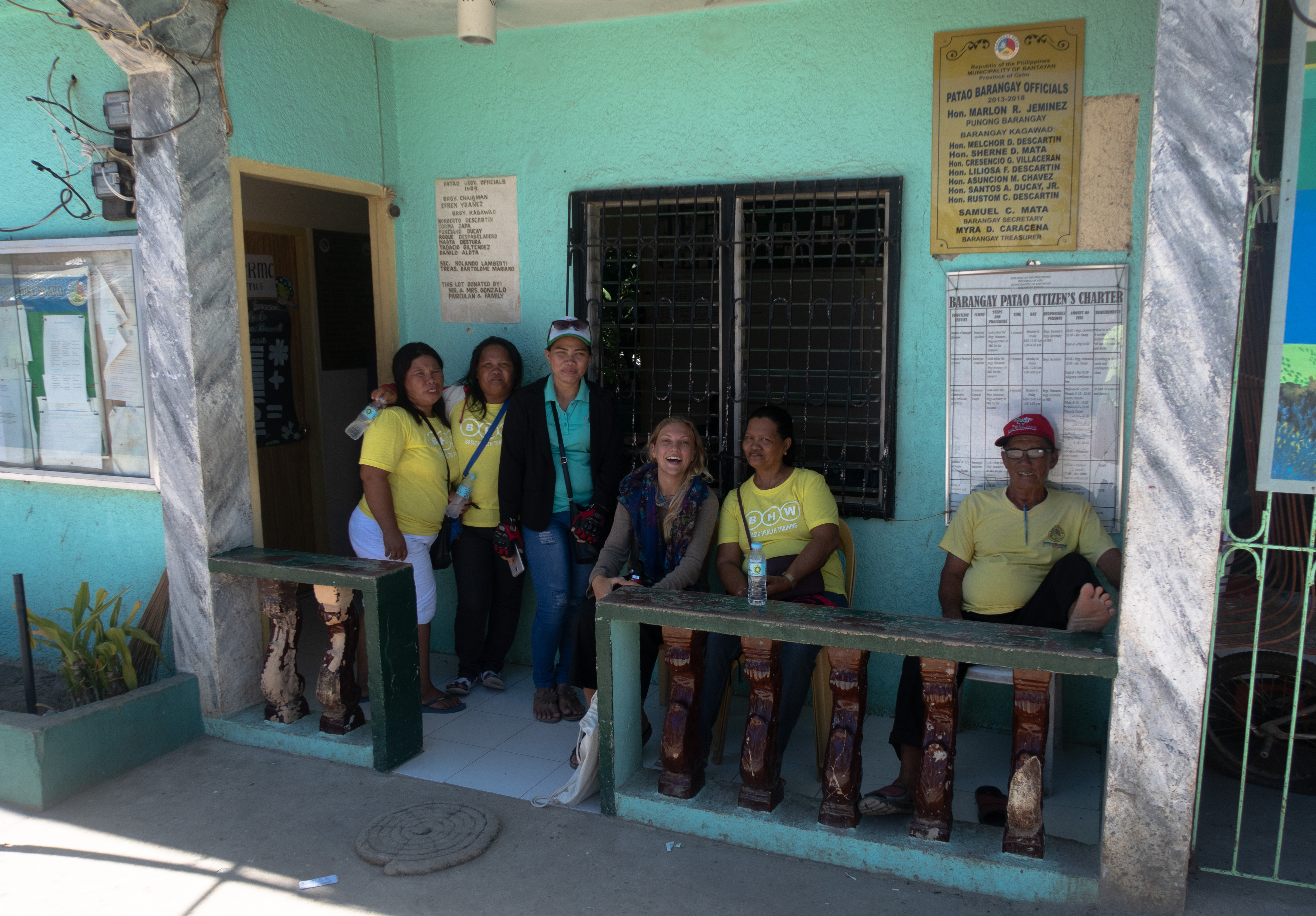
As a volunteer, I assisted a GIS specialist during a workshop focused on community-based map development for disaster risk reduction as part of the A2D project. Using handheld GPS devices, we worked with local teams to locate and record these critical points. My role involved supporting field teams in the accurate use of GPS equipment, troubleshooting technical issues, and ensuring data was collected correctly. The data was then used to create detailed 3D maps of three coastal barangays, providing a vital tool for local disaster planning and response.